Global Awareness Map See the issues. Know the facts. Take action.

Global Awareness Map

See the issues. Know the facts. Take action.

Latest Articles

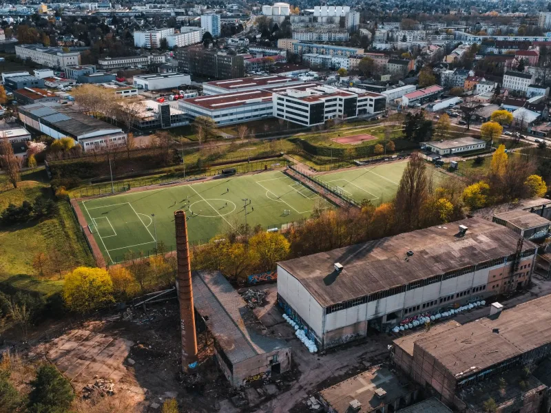
Reading the Wind Rose at the School Gate: Mapping Industrial Proximity and Student Risk
Climate & Health

Reading the Wind Rose at the School Gate: Mapping Industrial Proximity and Student Risk

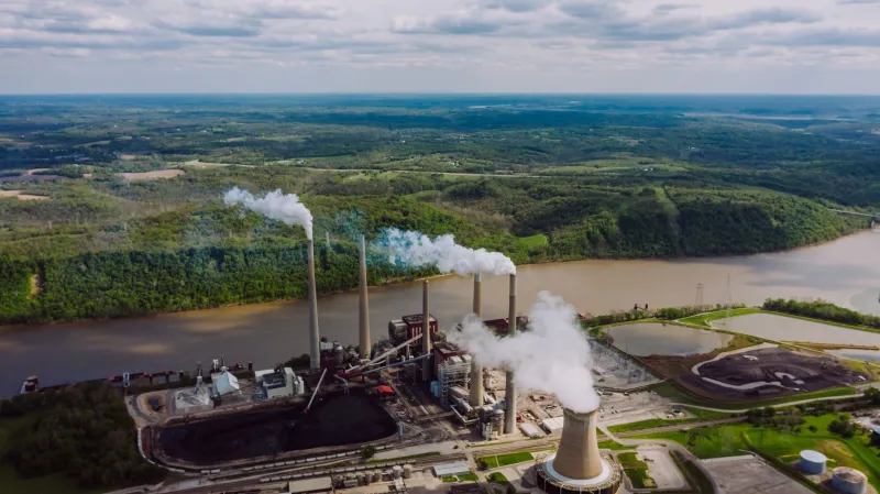
A new Global Awareness Map layer examines U.S. schools located near facilities that report to the EPA’s Toxic Release Inventory. The map is a starting point for questions about siting, monitoring, and environmental health — not a verdict on exposure.

Minutes From Help: Mapping the Counties Where Volunteer Ambulance Crews Carry the Load
Climate & Health

Minutes From Help: Mapping the Counties Where Volunteer Ambulance Crews Carry the Load

In many U.S. counties, the first responder to a medical emergency is a neighbor with a pager, not a paid crew on standby. This explainer maps where volunteer ambulance service is most fragile—and what residents can do to understand and strengthen local emergency care before the next call.

The Pump Behind the Porcelain: Mapping Sanitation’s Quiet Dependence on the Grid
Water & Environment

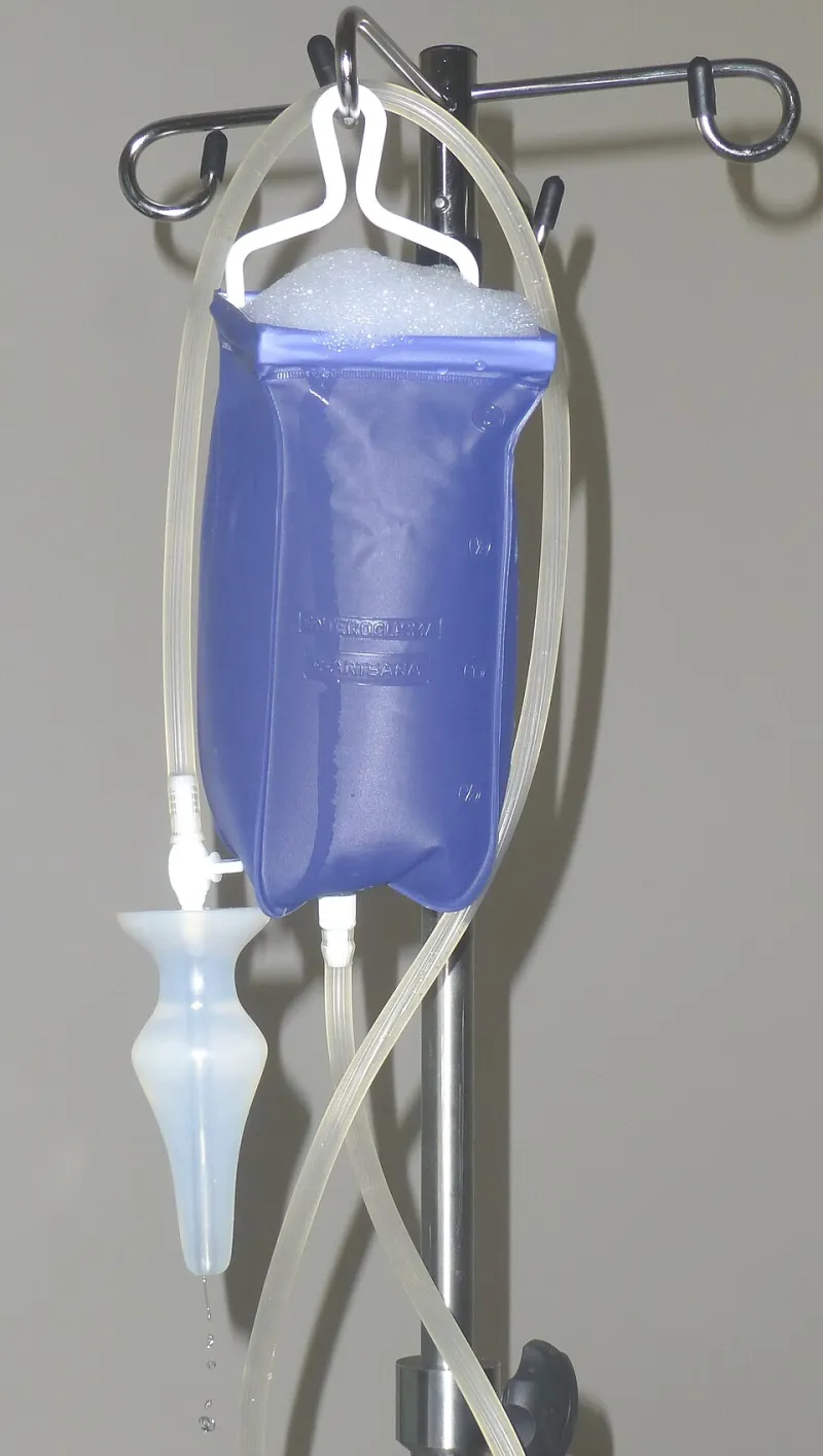
The Pump Behind the Porcelain: Mapping Sanitation’s Quiet Dependence on the Grid

For many U.S. households, wastewater does not leave by gravity alone. Grinder pumps, effluent pumps, and small treatment systems need electricity, and when outages or floods hit, backups and spills can follow. This map-driven explainer shows how septic density, outage frequency, flood risk, and income overlap—and what homeowners and local planners can do in 2026.

The Field Next Door: Mapping Schools That Sit in the Path of Spray Season
Climate & Health

The Field Next Door: Mapping Schools That Sit in the Path of Spray Season

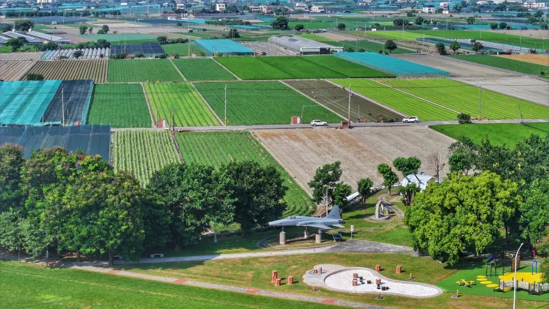
Across much of rural and exurban America, the boundary between a schoolyard and a working farm is a fence line and little else. This explainer looks at how pesticide drift reaches children, how buffer rules and notification systems work in practice, and what parents and districts can request when the field next door is sprayed.

The Faucet Audit: Mapping What U.S. Schools Know About Lead in Drinking Water
Water & Environment

The Faucet Audit: Mapping What U.S. Schools Know About Lead in Drinking Water

School drinking water testing remains a patchwork of state rules, voluntary guidance, and uneven public reporting. A transparency map can show families and taxpayers where districts have tested, what they found, and which fixes still lack a funding path in 2026.

Counting Aisles, Not Miles: Mapping Where Discount Stores Outpace Grocery in U.S. Towns
Consumer Action

Counting Aisles, Not Miles: Mapping Where Discount Stores Outpace Grocery in U.S. Towns

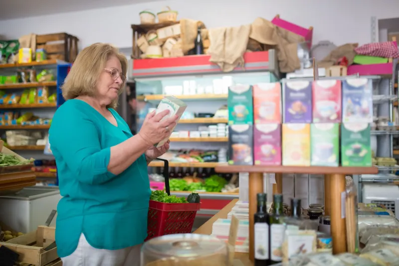
A growing number of U.S. communities have more dollar stores and small discount retailers than full-service grocers. This map-driven explainer looks beyond the food-desert label to show how store mix shapes fresh food access, local jobs, and household budgets, and what residents, planners, and shoppers can do about it.

Where the Stack Stands and the Monitor Doesn’t: America’s Unmeasured Air
Climate & Health

Where the Stack Stands and the Monitor Doesn’t: America’s Unmeasured Air

Regulatory air monitors are not distributed evenly, and neither is industrial pollution. This explainer maps where U.S. communities live near emissions sources without a nearby official monitor, explains how siting decisions leave gaps, and offers practical steps for residents who want the air they breathe to be counted.

When the Shift Starts, the Crib Closes: America's After-Hours Infant Care Deserts
Work & Family

When the Shift Starts, the Crib Closes: America's After-Hours Infant Care Deserts

Licensed infant care in most U.S. counties closes long before the evening shift ends. This map-driven explainer identifies where the mismatch is sharpest, describes the informal arrangements families fall back on, and outlines what employers and local officials can actually change.

Metered by the Megawatt: Where Hyperscale Data Centers Land and Who Absorbs the Bill
Water & Environment

Metered by the Megawatt: Where Hyperscale Data Centers Land and Who Absorbs the Bill

The AI buildout is redrawing the U.S. map one substation at a time. This explainer tracks where hyperscale campuses are landing, how large-load utility tariffs and water permits are written, and what residents can usefully ask when a project arrives in their county.

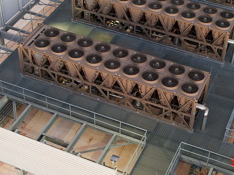
The Uninterruptible Need: Mapping U.S. Households Where Power Is a Medical Requirement
Climate & Health

The Uninterruptible Need: Mapping U.S. Households Where Power Is a Medical Requirement

For households that depend on ventilators, oxygen concentrators, dialysis equipment, or refrigerated medication, an outage is a clinical event. This Global Awareness Map analysis maps where outage risk and home medical-device use overlap, explains backup-power barriers, and offers a preparedness checklist and policy actions.

The Last Counter Standing: Mapping U.S. Pharmacy Deserts and the Patients Who Travel Farthest
Consumer Action

The Last Counter Standing: Mapping U.S. Pharmacy Deserts and the Patients Who Travel Farthest

Pharmacy closures turn routine refills into logistical ordeals in communities where distance, transit gaps, and chronic illness collide. This Global Awareness Map analysis explains how pharmacy deserts form, why they matter for adherence and emergency care, and what residents, local officials, and advocates can do.

Degrees of Disadvantage: Mapping Where Extreme Heat Meets Homes Without Cooling
Climate & Health

Degrees of Disadvantage: Mapping Where Extreme Heat Meets Homes Without Cooling

Satellite thermal data, tree-canopy inventories, and energy-burden records can be layered to reveal a quieter kind of climate risk: neighborhoods that heat up fastest and have the fewest means to cool down. This explainer outlines the science, profiles three U.S. communities, and offers a practical local action guide.

The Receiving End of the Blue Bin: A Map of U.S. Recycling That Follows the Waste
Consumer Action

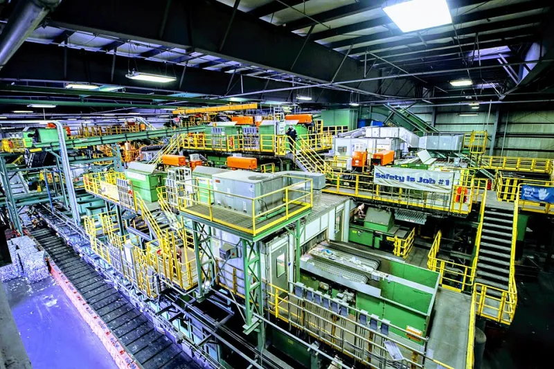
The Receiving End of the Blue Bin: A Map of U.S. Recycling That Follows the Waste

Curbside recycling rates tell only half a story. A more honest map follows paper, plastic, and metals after the truck leaves — through sorting facilities, export terminals, and the communities that host the residue.

Where the Water Table Sets the Agenda: Ten U.S. Counties Facing Aquifer Stress
Water & Environment

Where the Water Table Sets the Agenda: Ten U.S. Counties Facing Aquifer Stress

Groundwater decline often stays invisible until it surfaces in a household well, a harvest, or a utility bill. This 2026 county-level explainer identifies ten representative places where aquifer stress is shaping daily decisions and shows how residents can follow the local water rules that matter.

From Mine to Mailbox: Eight Everyday Purchases and the Supply Chains Behind Them
Consumer Action

From Mine to Mailbox: Eight Everyday Purchases and the Supply Chains Behind Them

A smartphone, a cup of coffee, and a cotton shirt rarely arrive with a map of their own. This practical guide traces eight common U.S. purchases to the places and pressures behind them and explains what shoppers can verify, what they cannot, and where local advocacy can matter.

Recommended

non gamstop casinos casinos not on gamstop non gamstop casinos UK