Reading the Wind Rose at the School Gate: Mapping Industrial Proximity and Student Risk
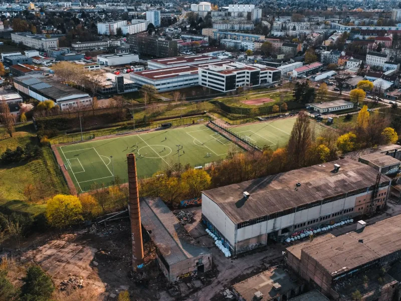
When parents scan a neighborhood for schools, they usually weigh commute times, class sizes, and playground conditions. Less visible is the industrial geography around the building. A chemical plant, metal finisher, or waste handler may sit a short drive away, reporting releases to federal regulators while students eat lunch, run drills, and play outside. Global Awareness Map’s latest layer places this question on the map: how many U.S. schools sit within roughly one mile of a facility that reports to the Environmental Protection Agency’s Toxic Release Inventory, and what does that proximity actually tell us?
What the Map Shows — and What It Cannot
The map is deliberately modest in its claims. It overlays public school locations with facilities that file Toxic Release Inventory, or TRI, reports under the Emergency Planning and Community Right-to-Know Act. The layer highlights overlap. It does not label a school unsafe, nor does it assign a risk score to a playground. A one-mile radius is a screening device, not a medical diagnosis.
That distinction matters because chemical risk is not a simple function of distance. A facility’s reported releases may be small or large, routine or accidental, airborne or waterborne. Emissions can vary by season, production schedule, and maintenance activity. Wind direction, topography, building ventilation, and the age of a school’s HVAC system all shape what students and staff might actually breathe. Federal TRI data also capture reported releases above regulatory thresholds, not continuous ambient concentrations at the school door.
Still, the map fills a gap in public awareness. School siting debates often focus on traffic, flooding, or noise. Industrial proximity is harder to see and harder to discuss without either alarm or dismissal. Mapping it gives residents a shared reference point for asking better questions.
The Federal Data: Useful, Uneven, and Incomplete
The TRI is one of the most accessible environmental datasets in the United States. Facilities in covered industrial sectors must report releases and waste management of listed chemicals when they exceed threshold quantities. The data are public and searchable, and they have supported community right-to-know efforts since the 1980s. For a parent or local official, the inventory can reveal which facilities near a school report releases and what chemicals are involved.
But the TRI is not a school air-quality monitor. It does not measure concentrations at recess, and it does not capture every facility or every substance. Some small businesses, mobile sources, and agricultural operations fall outside its scope. Reporting thresholds can mean that low-volume releases are absent from the record. The data also depend on facility estimates and reporting accuracy.
That is why the map should be read alongside other sources: state air permits, local monitoring networks, facility compliance records, and school district environmental assessments. A cluster of TRI reporters near a school is a reason to look closer, not a reason to assume the worst.
Why Proximity Is Not Exposure
Public health researchers often describe exposure as a chain: a source, a pathway, and a receptor. A facility may be the source. Air, water, soil, or dust may be the pathway. Students and staff are the receptors. Distance affects the chain, but it does not determine it. A school upwind of a facility may have different conditions than a school downwind. A building with filtered mechanical ventilation may have different indoor air than one relying on open windows. A facility that reports large annual releases may emit them in ways that do not reach the school grounds.
This is not a reason for complacency. It is a reason for precision. Communities deserve clear information about what is being released, when, and under what permits. They also deserve honest acknowledgment of uncertainty. The map’s one-mile band is a conversation starter, not a substitute for monitoring.
State Rules Set Different Baselines
School siting standards vary widely across the country. Some states require environmental reviews or public hearings before a school is built near industrial sites. Others offer guidance without binding requirements. Local zoning boards may weigh chemical facilities, while school districts may negotiate land costs and enrollment forecasts under separate pressures. The result is a patchwork: a school that would trigger scrutiny in one state may be approved with little environmental review in another.
Federal law does not impose a universal buffer between schools and industrial facilities. That leaves the question to state legislatures, local governments, and district officials. In 2026, several states are revisiting school siting rules as aging buildings are replaced and enrollment shifts. The map can help residents see where current rules produce close proximity — and where they do not.
A 2026 Action Guide for Parents and Local Officials
Start with the public record. Use EPA’s TRI and Envirofacts tools to identify reporting facilities near a school. Review the facility’s most recent reports and state air permits. Ask the school district whether any environmental assessment was conducted during siting or renovation.
Request monitoring where uncertainty is high. Parents and local officials can ask state environmental agencies about ambient air monitoring near schools and whether existing monitors capture the school day. If no data exist, request a targeted monitoring plan or a health consultation from the appropriate agency.
Push for clearer siting standards. Local planning commissions can adopt environmental review requirements for schools near industrial facilities. Districts can include indoor air quality and filtration in facilities plans. State lawmakers can establish consistent buffer or review policies rather than leaving the question to case-by-case negotiation.
Finally, keep the map in perspective. Proximity is a prompt for questions, not proof of harm. The goal is not to empty a neighborhood of industry or to frighten families. It is to make the invisible geography of risk visible enough for informed decisions — and to ensure that the schools inside that geography are not left to guess.