The Crest Above Town: Mapping High-Hazard Dams and the Communities Downstream
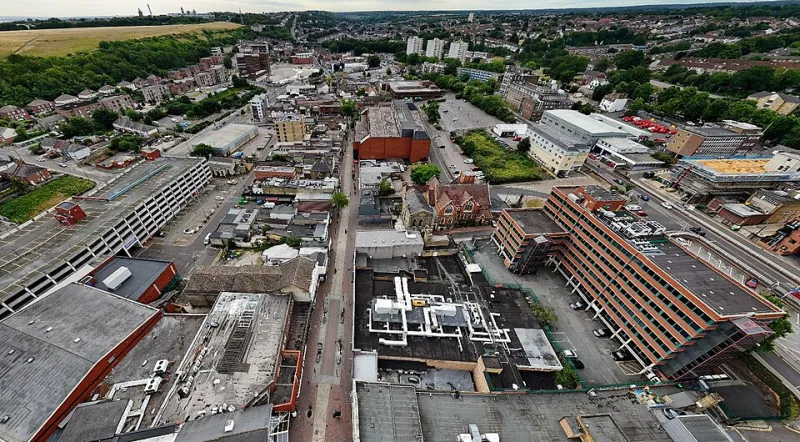
Photo: Stephen Kennard, CC0, via Wikimedia Commons
A dam can be invisible from Main Street. It may sit miles upstream, behind a tree line, at the end of a county road, or beneath a reservoir that supplies a nearby town. For the people who live below it, the structure matters most in the hours when it does not hold. The Global Awareness Map project treats dam safety as a downstream geography: not only a question of concrete, earth, and spillways, but of where people live, work, and sleep in relation to regulated infrastructure.
What High-Hazard Actually Means
In U.S. dam safety practice, high-hazard potential is a classification of consequence, not a verdict on condition. A dam earns the label because a failure would probably cause loss of life. It does not mean the dam is failing. It means the stakes are high if it does. That distinction is central to any honest map of risk.
The National Inventory of Dams and state dam safety offices track thousands of structures across the country. Many are small earthen dams built for mills, farms, flood control, or water supply. Some are privately owned; others belong to municipalities, utilities, or federal agencies. Regulatory authority is split. Federal dams are overseen by federal agencies, while most other dams fall under state programs that vary widely in staffing, inspection schedules, and enforcement tools.
The Geography of Consequence
A useful map does not stop at the dam. It follows the likely inundation path downstream and then overlays the places where people are most vulnerable. That means schools, nursing homes, mobile home parks, hospitals, and neighborhoods with limited exit routes. It also means looking at the age of the structure, the size of the reservoir, the condition of the spillway, and whether the owner has a current emergency action plan.
The pattern is not uniform. Older industrial and mill dams cluster in parts of New England and Appalachia. Flood-control structures sit above communities in the Midwest and Texas. Reservoir dams serve growing suburbs in the West and Southeast. In each case, the downstream population may have changed since the dam was built. A structure designed for a rural landscape can find itself above a subdivision, a commercial corridor, or a school campus decades later.
The Inspection Backlog
Dam safety is a quiet form of public infrastructure work. It relies on engineers, field inspectors, hydrologists, and administrative staff. State programs often report limited capacity relative to the number of regulated dams they oversee. Inspections may be spaced years apart, and follow-up on deficiencies can stretch longer when owners lack money or when enforcement authority is weak.
This is not a simple story of neglect. Many dams are maintained responsibly, and many high-hazard structures have current plans and recent inspections. But the national picture includes deferred maintenance, outdated spillway capacity estimates, and development that has increased the number of people downstream. In 2026, the policy question is less whether dams matter than whether inspection and emergency planning budgets have kept pace with the consequences of growth and more intense rainfall.
Emergency Action Plans and the Last Mile
For high-hazard dams, an emergency action plan is meant to connect engineering to local response. It identifies who calls whom, how downstream residents are warned, and where people should go. But a plan on file is not the same as a plan in practice. It must be updated, exercised, and understood by the local officials who will act on it.
The last mile is often the weakest link. Residents may not know they live below a regulated dam. Local alert systems may require sign-up. Evacuation routes may be obvious on paper but congested in reality. In communities with older residents, limited English proficiency, disabilities, or households without vehicles, a generic warning may not travel far enough.
Who Bears the Risk
Risk is not evenly distributed downstream. Counties with older housing, lower incomes, and fewer transportation options may face longer evacuation times and less capacity to recover. Renters may have less information about the property they occupy. Seasonal visitors and recent arrivals may not know local hazards. A dam safety map becomes more useful when it is paired with social vulnerability data and local emergency planning, not treated as a stand-alone inventory.
How Residents Can Read Their Own Map
- Find the nearest regulated dam. Start with the National Inventory of Dams and the state dam safety office. Search by county or stream, and note the hazard classification, owner, and any publicly available inspection information.
- Ask about the emergency action plan. Local emergency management and the state dam safety office can explain whether a plan exists, when it was last updated, and how warnings would reach downstream residents.
- Confirm how alerts arrive. Sign up for county or municipal emergency notifications, and do not assume that a siren or phone alert will reach every household. Ask how neighbors without internet or mobile service would be informed.
- Attend public meetings. State dam safety programs and county emergency planners sometimes hold workshops or budget hearings. Questions about inspection frequency, plan updates, and downstream development are legitimate public questions.
- Talk with neighbors. Shared awareness is part of preparedness. A short conversation about evacuation routes and alert sign-ups can matter more than a document nobody has opened.
What to Watch in 2026
The dam safety conversation is changing on two fronts. Climate patterns are altering the rainfall and runoff assumptions built into older designs, and development continues to place more people below structures that were classified decades ago. Both trends can change the meaning of high-hazard without changing the dam itself.
A responsible map should show that tension plainly. It should mark the crest above town, the regulated structure behind it, and the neighborhoods below. Then it should point residents toward the agencies, plans, and public meetings where the details of safety are actually decided.